 MEC 101 Microeconomic Theory and Analysis| Latest Solved Assignment of IGNOU
  MEC 104 Economics of Growth and Development| Latest Solved Assignment of IGNOU
  MEC 102 Macroeconomic Theory and Analysis| Latest Solved Assignment of IGNOU
  MEC 109 Research Methods in Economics| Latest Solved Assignment of IGNOU
  MEC 106 Public Economics| Latest Solved Assignment of IGNOU
  MEC 107 International Trade and Development| Latest Solved Assignment of IGNOU
  MEC 110 Money,Financial Institutions and Markets| Latest Solved Assignment of IGNOU
  MECE 101 Introductory Econometric Methods| Latest Solved Assignment of IGNOU
  MECE 102 Advanced Econometric Methods| Latest Solved Assignment of IGNOU
  MCS 226 Data Science and Big Data (From MCA Programme of IGNOU)| Latest Solved Assignment of IGNOU
  MCS 224 Artificial Intelligence and Machine Learing (From MCA Programme of IGNOU)| Latest Solved Assignment of IGNOU
  MECE 104 Economics of Environment and Social Sector| Latest Solved Assignment of IGNOU
  MECE 103 Actuarial Economics| Latest Solved Assignment of IGNOU
  MGPE 6 Gandhi‘s Economic Thoughts| Latest Solved Assignment of IGNOU
  MWG 011 Women in the Economy| Latest Solved Assignment of IGNOU
  MGSE 009 Gender issues in Work, employment and productivity| Latest Solved Assignment of IGNOU
  MEC 103 Quantitative Methods | Latest Solved Assignment of IGNOU
  MEC 105 Indian Economic Policy | Latest Solved Assignment of IGNOU
 MGG 011 Geographical...
Rs.299 Rs.599
| Product Name | Cart |
|---|---|
|
|
|
|
|
|
|
|
|
|
|
|
|
|
|
|
|
|
|
|
|
|
|
|
|
|
|
|
|
|
|
|
|
|
|
|
|
|
|
|
|
|
|
|
|
|
|
|
|
|
|
|
|
| Category | : MASTER‘S DEGREE PROGRAMMES |
| Sub Category | : Master of Arts (Economics)(MAEC) |
| Products Code | : 7.21-MAEC-ASSI |
| HSN Code | : 490110 |
| Language | : English, English |
| Author | : BMAP EDUSERVICES PVT LTD |
| Publisher | : BMAP EDUSERVICES PVT LTD |
| University | : IGNOU (Indira Gandhi National Open University) |
| Pages | : 20-25 |
| Weight | : 157gms |
| Dimensions | : 21.0 x 29.7 cm (A4 Size Pages) |
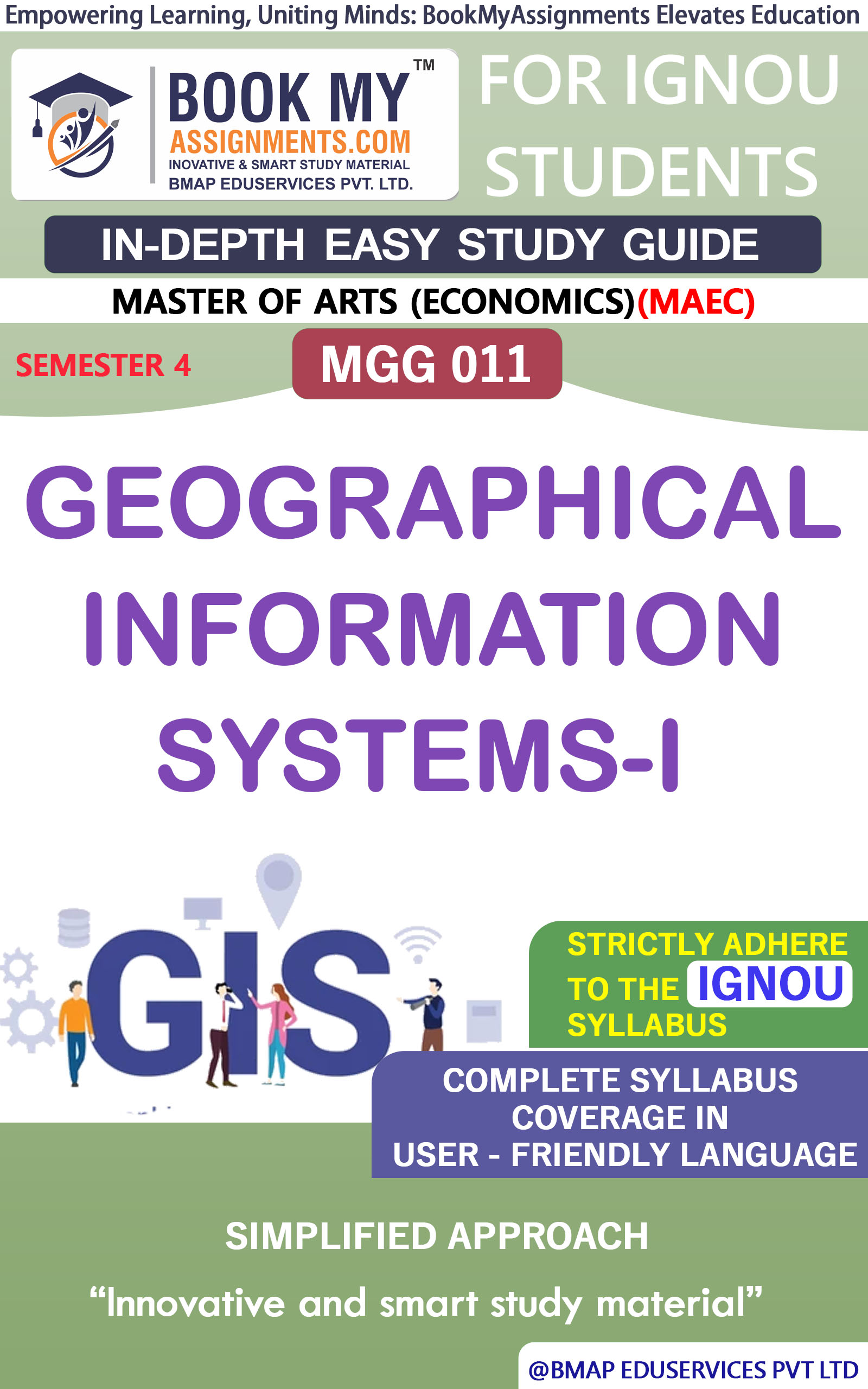
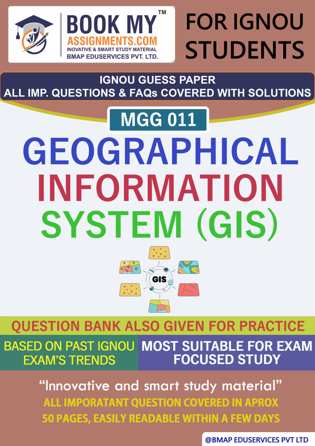
The MGG 011 Geographical Information Systems-I assignment solution provides an in-depth understanding of the fundamental concepts, tools, and techniques used in Geographical Information Systems (GIS). This solution, aligned with IGNOU’s MA Geography programme guidelines, focuses on the components of GIS, its applications, and how GIS technology is used to analyze and interpret spatial and geographical data for research and practical purposes.
The study begins with an introduction to Geographical Information Systems (GIS), explaining it as a powerful tool used to capture, store, manipulate, analyze, manage, and present spatial or geographic data. The solution highlights the role of GIS in various fields, including urban planning, environmental management, geography, and disaster management, and how it has become an essential part of modern data analysis for spatial decision-making.
The solution then introduces the basic components of GIS, which include hardware, software, data, people, and procedures. The study emphasizes how GIS systems are used to integrate different data sources, such as maps, satellite imagery, and survey data, into a cohesive system to analyze geographic patterns and spatial relationships. The solution also covers the role of GIS software in processing and analyzing spatial data, with a focus on popular GIS platforms such as ArcGIS and QGIS.
Next, the solution explores the types of spatial data used in GIS. The study discusses vector data, which represents spatial features through points, lines, and polygons, and raster data, which represents continuous surfaces through grids or pixels. The solution explains how these data types are used for mapping and spatial analysis, with practical examples such as topographic maps, land use maps, and elevation models. The study highlights the importance of understanding the characteristics of spatial data for effective data analysis and interpretation.
The solution continues with a discussion of GIS tools and techniques used for data manipulation and analysis. The study covers spatial analysis tools such as buffering, overlay analysis, and spatial interpolation, which allow users to perform complex analyses such as identifying areas within a specific distance from a feature, combining multiple layers of data to create new insights, and estimating values at unmeasured locations based on surrounding data. The solution also discusses geoprocessing techniques, which automate and streamline spatial data operations to create more efficient workflows in GIS projects.
The study further delves into map design and the creation of cartographic products. The solution explores the principles of effective map-making, such as choosing appropriate symbology, color schemes, and legend design, to ensure that maps effectively communicate spatial information. The study highlights how GIS enables the creation of thematic maps, such as population density maps, land cover maps, and transportation network maps, which can be used to support decision-making in planning and resource management.
The solution also addresses the data management aspects of GIS, focusing on the importance of data accuracy, data integrity, and data validation. The study explains how geospatial databases are structured and how GIS professionals use relational databases to store and manage large amounts of spatial data. The solution discusses the need for proper metadata to document the source, quality, and format of spatial data, ensuring that data is reliable and can be effectively shared and used by others.
Additionally, the solution explores the applications of GIS in various domains. The study discusses the use of GIS in environmental studies, where it helps in mapping and analyzing natural resources, land use changes, and environmental hazards. The solution covers how GIS is applied in urban planning, such as land suitability analysis, traffic management, and zoning. The study also highlights the use of GIS in disaster management, where it is used to assess flood risks, earthquake preparedness, and evacuation planning.
For students seeking more personalized support, a custom handwritten option is available. This option allows students to receive tailored insights into specific aspects of GIS, such as spatial analysis, data management, or cartographic techniques.

DISCLAIMER
The IGNOU solved assignments and guess papers provided on this platform are for reference purposes only and should not be used to engage in educational dishonesty. These materials serve as learning and study tools and are not intended for submission as original work. Users are responsible for using these materials ethically and in accordance with their educational institution's guidelines. We do not assume liability for any misuse or consequences resulting from the use of these materials. By accessing and utilizing these resources, users agree to this disclaimer.

 Chat with us