 MGG 001 Introduction to Geograhic Thought | Latest Solved Assignment of IGNOU
  MGG 008 Advances in Geographical Thought | Latest Solved Assignment of IGNOU
  MGG 002 Geomorphology | Latest Solved Assignment of IGNOU
  MGG 003 Regional Geography of India | Latest Solved Assignment of IGNOU
  MGG 004 Population and Settlement Geography | Latest Solved Assignment of IGNOU
  MGG 005 Climatology | Latest Solved Assignment of IGNOU
  MGG 006 Economic Geography | Latest Solved Assignment of IGNOU
  MGG 007 Environmental Geography | Latest Solved Assignment of IGNOU
  MGG 010 Urban Geography | Latest Solved Assignment of IGNOU
  MGG 009 Social Geography | Latest Solved Assignment of IGNOU
  MGG 013 Oceanography | Latest Solved Assignment of IGNOU
  MGG 012 Introduction to Remote Sensing | Latest Solved Assignment of IGNOU
  MGGE 002 Natural Resources Management | Latest Solved Assignment of IGNOU
  MGGE 003 Natural Hazards and Disaster Management | Latest Solved Assignment of IGNOU
  MGGE 004 Hydrology and Water Resources | Latest Solved Assignment of IGNOU
 MGG 011 Geographical...
Rs.299 Rs.599
| Product Name | Cart |
|---|---|
|
|
|
|
|
|
|
|
|
|
|
|
|
|
|
|
|
|
|
|
|
|
|
|
|
|
|
|
|
|
|
|
|
|
|
|
|
|
|
|
|
|
|
|
| Category | : MASTER‘S DEGREE PROGRAMMES |
| Sub Category | : Master of Science (Geography) (MSCGG) |
| Products Code | : 7.52-MSCGG-ASSI |
| HSN Code | : 490110 |
| Language | : English, English |
| Author | : BMAP EDUSERVICES PVT LTD |
| Publisher | : BMAP EDUSERVICES PVT LTD |
| University | : IGNOU (Indira Gandhi National Open University) |
| Pages | : 20-25 |
| Weight | : 157gms |
| Dimensions | : 21.0 x 29.7 cm (A4 Size Pages) |
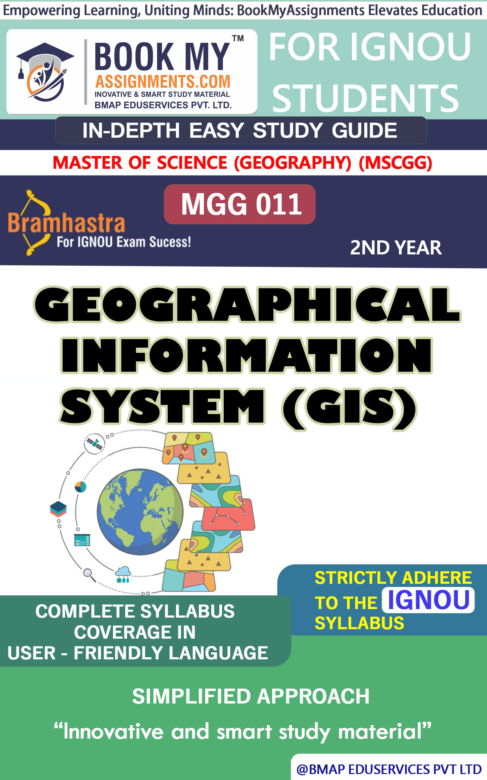
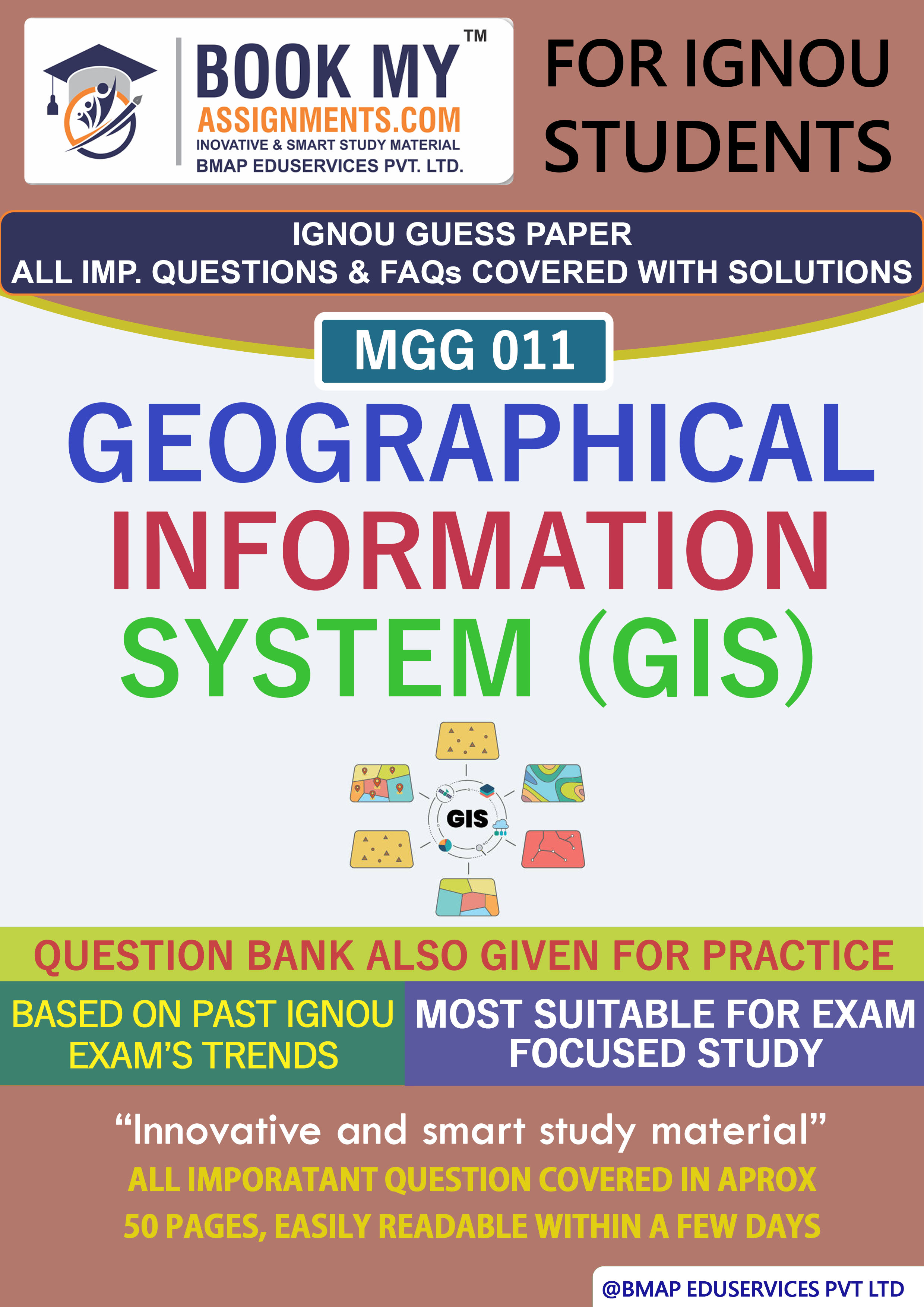
The MGG 011 Geographical Information System (GIS) assignment solution is meticulously crafted to assist students in mastering the complex dynamics of GIS, as outlined in the latest IGNOU guidelines. This comprehensive solution encompasses detailed explanations, critical analyses, and practical examples, ensuring a profound understanding of GIS and aiding in achieving excellent academic performance.
Key Topics Covered:
Introduction to GIS:
Functionalities and Capabilities of GIS:
Spatial Data Models in GIS:
Data Sources for GIS:
GIS Applications in Natural Resource Management:
Handwritten Assignment Option:
For students who prefer a personalized touch, we offer handwritten assignment solutions. These are meticulously prepared to enhance presentation quality, adhering to IGNOU's formatting and submission guidelines. Handwritten assignments often resonate well with evaluators, potentially leading to improved scores.
Customization Available:
Understanding that each student's requirements may vary, we provide customized assignment solutions. Whether you need specific topics addressed, require a particular writing style, or have other unique needs, our team is equipped to deliver tailored content that aligns with your academic objectives.
Why Choose Our Assignment Solution?
Investing in this assignment solution equips you with a robust resource to navigate the complexities of GIS, paving the way for academic success in your MGG 011 course.


DISCLAIMER
The IGNOU solved assignments and guess papers provided on this platform are for reference purposes only and should not be used to engage in educational dishonesty. These materials serve as learning and study tools and are not intended for submission as original work. Users are responsible for using these materials ethically and in accordance with their educational institution's guidelines. We do not assume liability for any misuse or consequences resulting from the use of these materials. By accessing and utilizing these resources, users agree to this disclaimer.

 Chat with us