MGY 2 Remote Sensing and...
Rs.149 Rs.419
| Category | : POST GRADUATE CERTIFICATE PROGRAMMES |
| Sub Category | : Post Graduate Certificate in Geoinformatics (PGCGI) |
| Products Code | : 10.4-PGCGI-ASSI |
| HSN Code | : 490110 |
| Author | : BMAP EDUSERVICES PVT LTD |
| Publisher | : BMAP EDUSERVICES PVT LTD |
| University | : IGNOU (Indira Gandhi National Open University) |
| Pages | : 20-25 |
| Weight | : 157gms |
| Dimensions | : 21.0 x 29.7 cm (A4 Size Pages) |
This IGNOU MGY 2 Remote Sensing and Image Interpretation assignment solution is designed to provide students with a comprehensive understanding of remote sensing technologies, satellite imagery, and image interpretation techniques. The solution strictly follows the latest IGNOU guidelines, ensuring accuracy, clarity, and high marks for the current session.
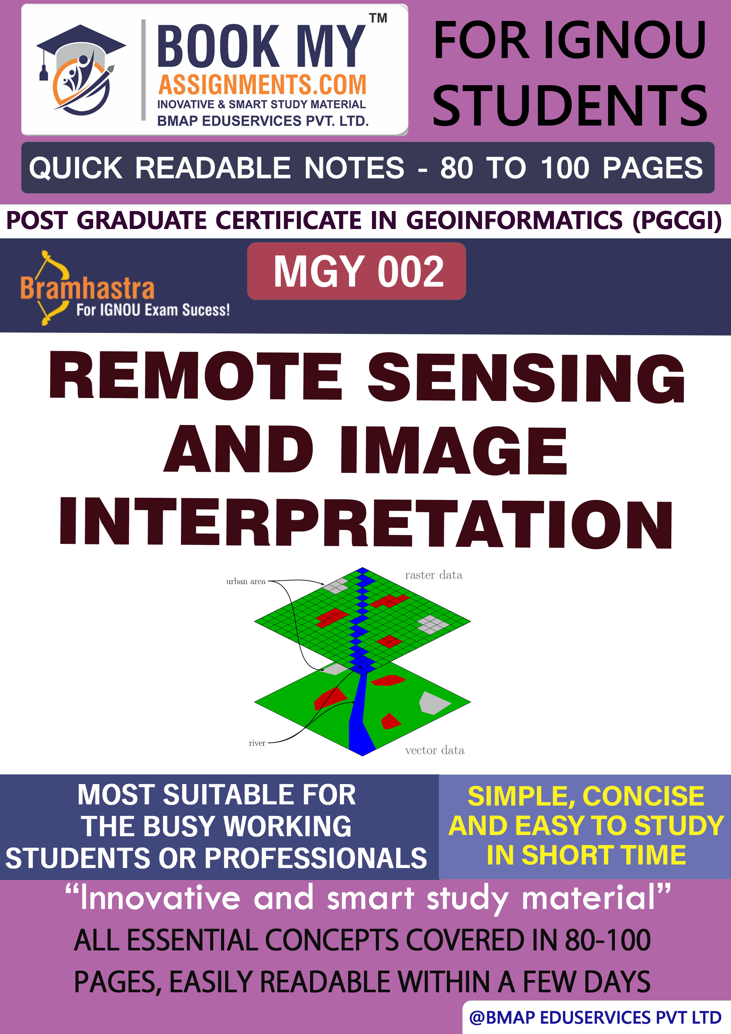
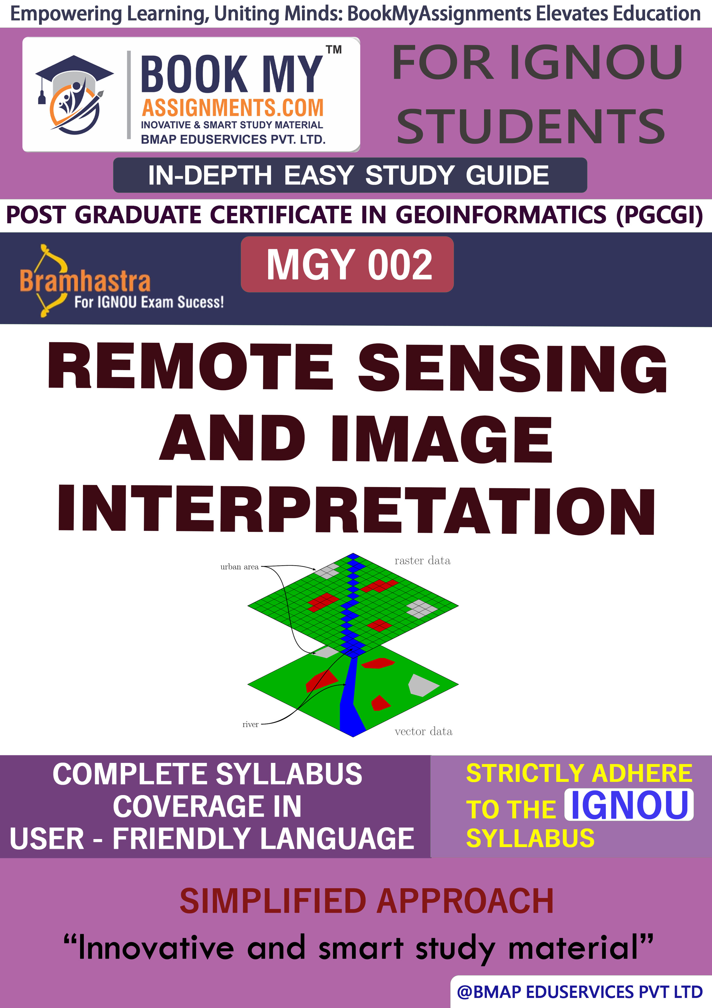
This assignment explores remote sensing technologies, which involve capturing data from satellites and aerial platforms. The solution covers basic principles of remote sensing, such as electromagnetic radiation, platforms, and sensors. It explains how satellite images are used to monitor and analyze environmental changes and natural resources. The solution includes a detailed discussion on image processing, data interpretation, and classification techniques used to extract meaningful information from satellite images for various applications in agriculture, disaster management, land-use mapping, and environmental monitoring.
✔ Follows the latest IGNOU guidelines for accuracy and high scores
✔ Well-structured answers for clear understanding of remote sensing techniques and image analysis methods
✔ Real-world case studies of remote sensing applications in natural resource management and disaster response
✔ High-scoring material explaining how image interpretation can be used for environmental monitoring
✔ Available in both printed and handwritten formats
✔ Custom handwritten assignments for students needing unique solutions
For students who prefer handwritten assignments, we offer custom handwritten solutions that meet IGNOU’s evaluation criteria, ensuring better presentation and improved marks.

DISCLAIMER
The IGNOU solved assignments and guess papers provided on this platform are for reference purposes only and should not be used to engage in educational dishonesty. These materials serve as learning and study tools and are not intended for submission as original work. Users are responsible for using these materials ethically and in accordance with their educational institution's guidelines. We do not assume liability for any misuse or consequences resulting from the use of these materials. By accessing and utilizing these resources, users agree to this disclaimer.

 Chat with us